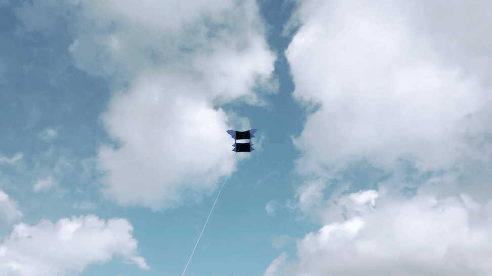
Kite Drone (2025-26) re-imagines what it means to sense and make sense of our changing environment. Engaging artistic research, speculative media design, and a mixture of contemporary and historical technologies, it seeks to prototype an alternative vision of how we may come to know and narrate shifts in climate and ecology.
Funded by the York Environmental Sustainability Institute (YESI), and with support from the Institute for Safe Autonomy (ISA) at York, the technical and creative centrepiece of this project is a ‘kite drone’ that carries aloft a multimodal sensory payload that is designed to process both visual and atmospheric data in real time.
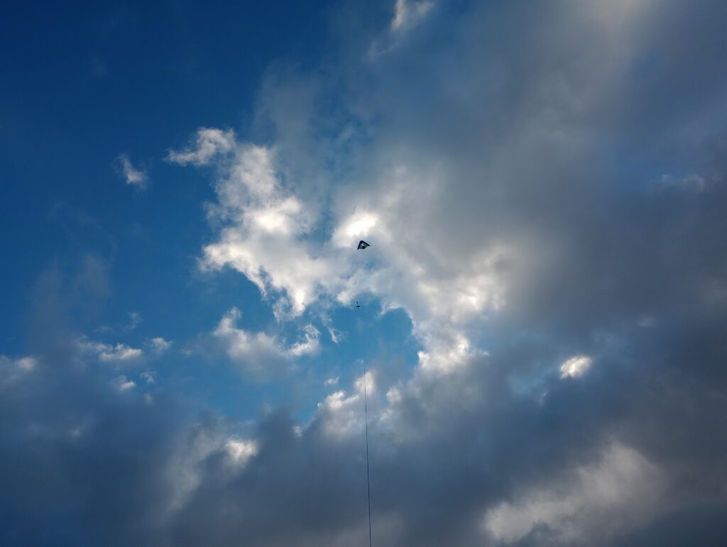
The kite itself affords a simpler and more sustainable alternative to motorised drones for persistent aerial observation, while harking back to its historical role as a key platform for atmospheric sensing, prior to the advent of powered aviation.
Nevertheless, the core technical focus of this project is not so much the kite platform in itself, but on the sensory payloads it can carry and the outputs these can generate.
From AI to Environmental Intelligence
All the sensory payloads carried by the kite drone are built around compact computer systems running small-scale, AI technologies, processing the gathered data in real time. A key premise of this project is to conduct a reflexive, practice-led investigation into both the utility of these ‘edge AI’ applications in aerial/ecological contexts, while also interrogating the persistent gap between climate data as a numerical construction versus the felt experiences—affective, incommensurate, uncertain—of the changes being indicated. Moving beyond gathering standard telemetry, the AI payload is tasked with a highly speculative function: using its multimodal capabilities to compare and correlate real-time environmental data with a stored library of literary and social accounts of geography, climate, and ecology. The system therefore logs the information detected by its sensors while searching for narrative and imaginative resonances between the numerical registers yielded, the material processes and transformations driving them, and written human reflections concerning our relationships to a changing planet.
It is important to note that the AI systems employed do not ‘generate’ the information here, but are used to correlate different sources of information together. Whether they can do so fruitfully is part of the investigation.
While the principal vector of this project is ultimately artistic rather than scientific, the project is assessing the technical potentials of using low-powered, low-footprint ‘edge’ AI systems to perform complex data correlations in real time, and so consider what the future may hold in this regard.
Evolution
v.1.0
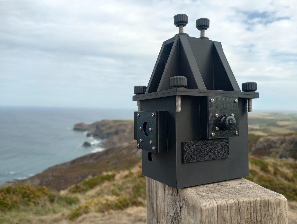
The initial phase of flight testing began in April 2026, with the first flight of the Geocamera v1.0 payload below a large Cody kite. This used Raspberry-Pi based hardware within a picavet suspended enclosure.
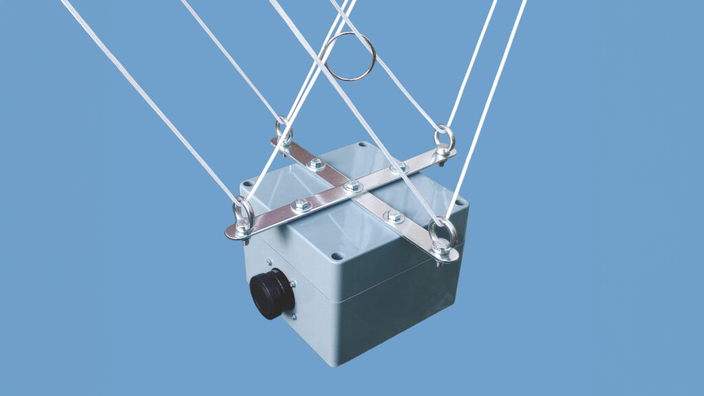
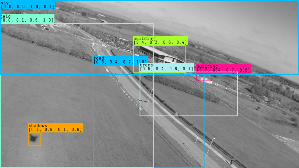
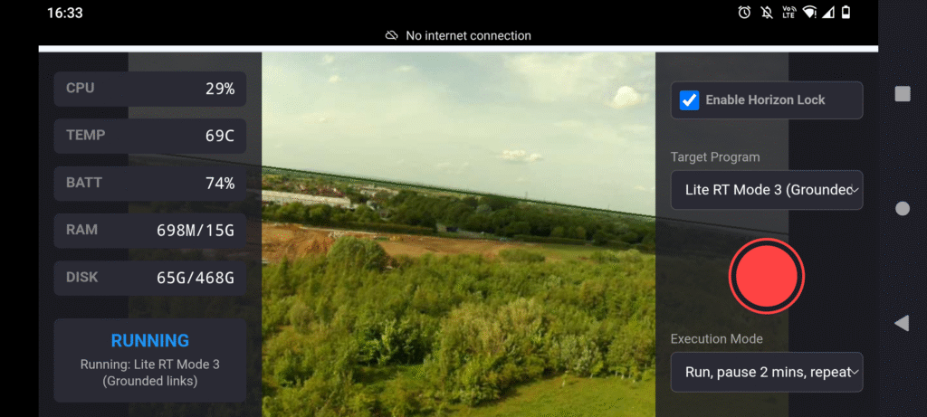
A lot of core testing and proof of concept work was done using this early setup, which flew up until May 2026. Initially using Ollama runtime and Qwen3-VL-Instruct, the system soon migrated to the LiteRT runtime and Gemma4:e2b and e4b models.
v2.0
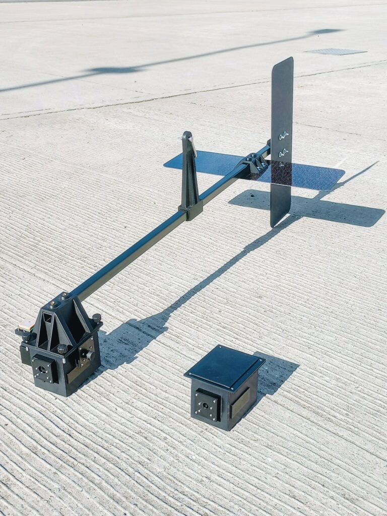
The next version of the Kite Drone flew subsequently at the very beginning of July 2026, using an aerodynamically balanced sensor boom constructed using carbon fibre and 3D printed sensor parts. The payloads carried include Geocamera v1.2 and Geocamera v2.0, the latter being developed specifically for this setup, with a more sophisticated suite of sensors and software to push the overall concept further.
Exhibition
In June 2026, some of the initial work on Kite Drone was exhibited at the University of York as part of the York Festival of Ideas.

